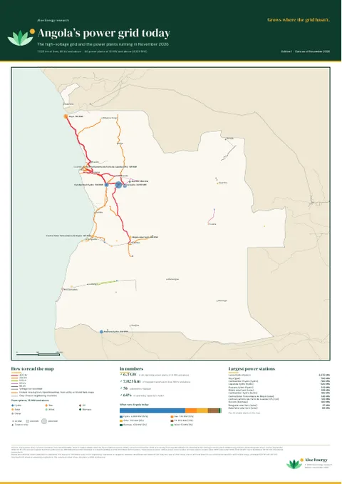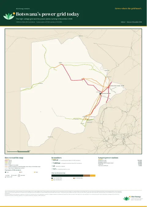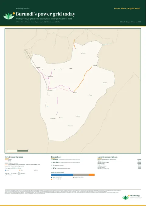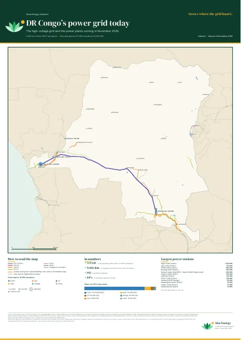
Poster pair · A0 · Edition 2
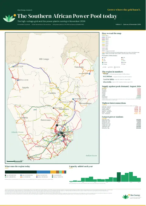
The Southern African Power Pool
12 countries: the grid and power plants running today, and every planned line and plant to 2035 and beyond.
Open by default.
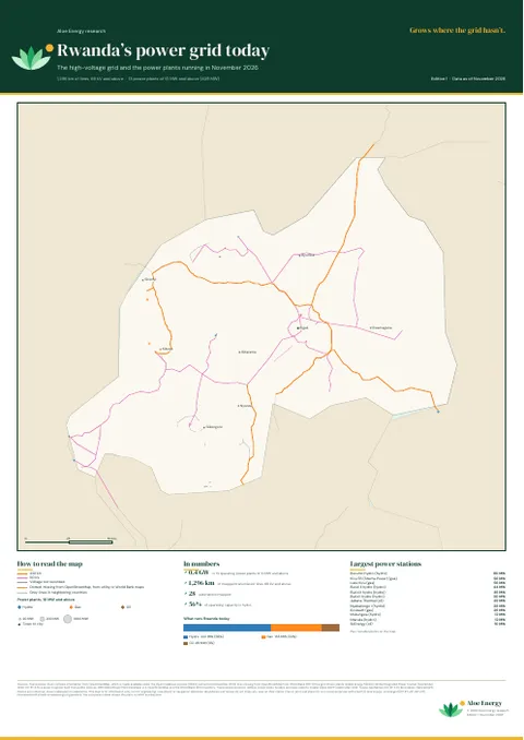
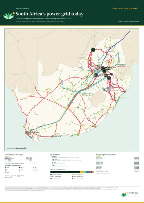
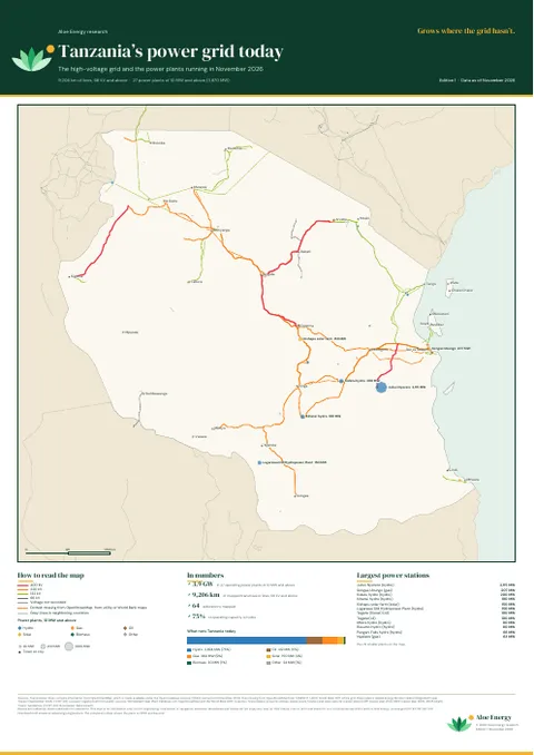
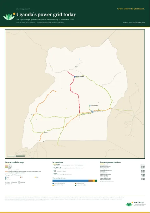
Printable maps of the power grid in Eastern and Southern Africa, made from our open atlases. Each region and each country comes as a pair: the high-voltage grid and power plants running today, and everything planned to 2035 and beyond, drawn over today’s grid.
12 countries: the grid and power plants running today, and every planned line and plant to 2035 and beyond.
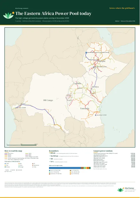
7 countries: the grid and power plants running today, and every planned line and plant to 2035 and beyond.
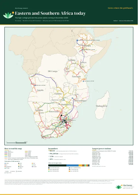
All 18 countries on one sheet: the grid and power plants running today, and every planned line and plant to 2035 and beyond.
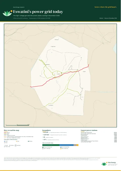
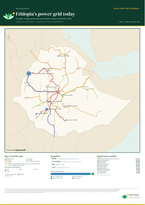
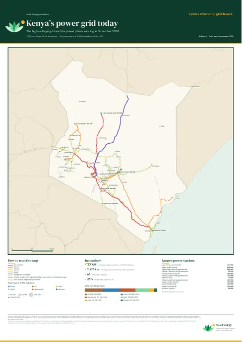
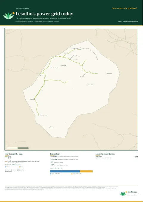
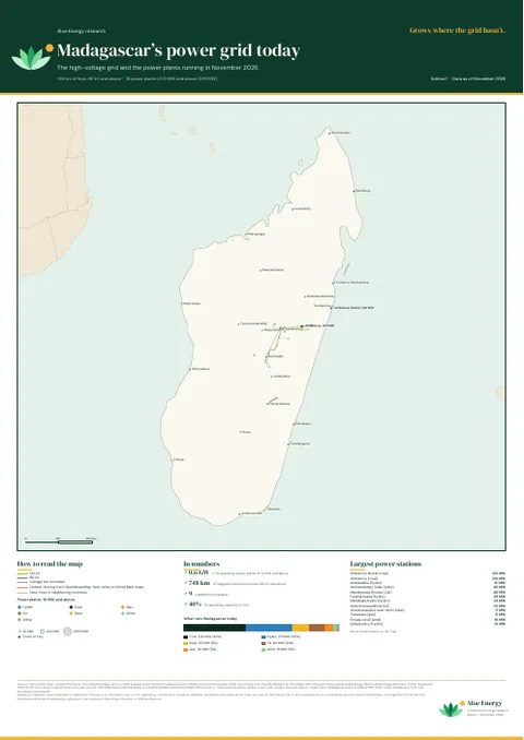
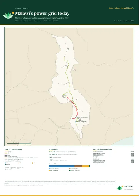
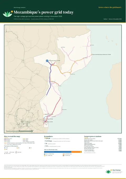
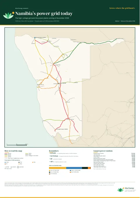
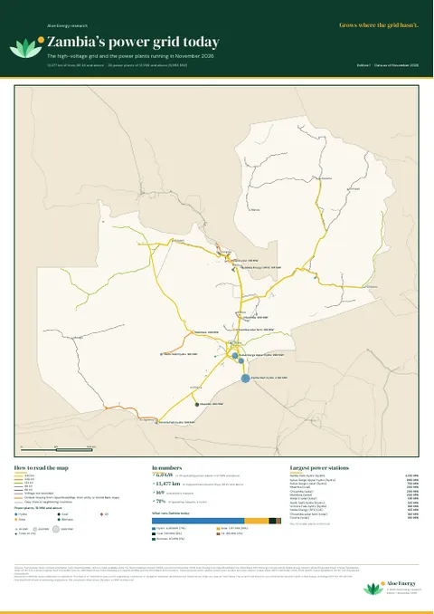
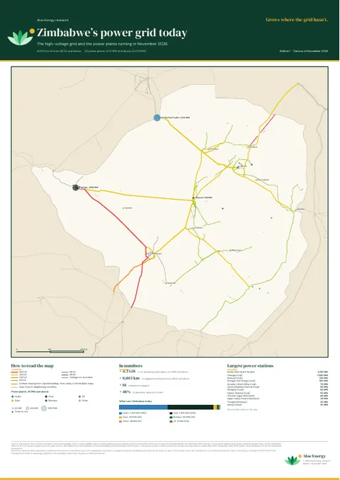
18 countries, from Ethiopia to the Cape and Madagascar. Each A2 sheet shows the country’s lines by voltage, its power plants of 10 MW and above and its main towns, with the largest power stations, the generation mix and the projects to watch.
Free to print and share for non-commercial use with credit to Aloe Energy, unchanged (CC BY-NC-ND 4.0). The A0 sheets print well at A1, and the A2 sheets at A3. Routes are indicative and the maps are for information only, not for engineering or investment decisions.
The posters are snapshots from November 2026. The online atlases are updated every month. For the data behind them, or to send a correction, email [email protected].